
24 Jul 2026
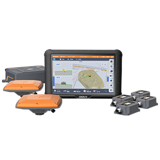
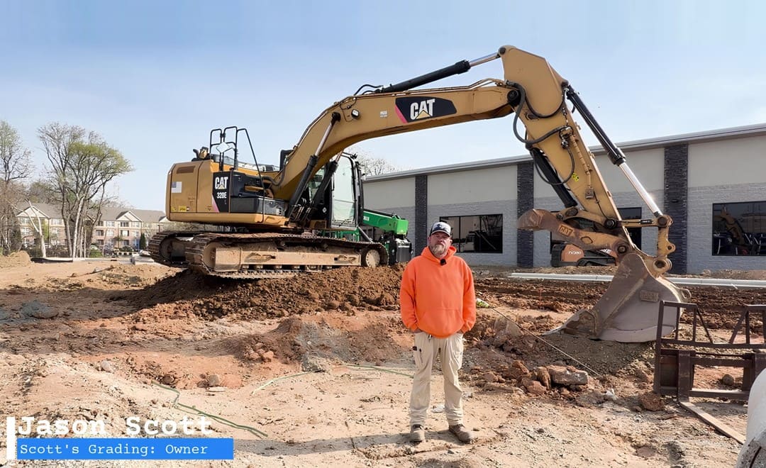
For many sitework contractors, the question about a GPS excavator guidance system is not whether the technology is advanced. It is whether the system reduces waiting time, improves jobsite coordination, and fits the machines and workflows already in daily use. Scott's Grading, a United States sitework contractor with decades of field experience, put that question to the test. After installing the CHCNAV TX73 GPS excavator guidance system, the team completed a grading task that would normally take about a week in just a day and a half.
Jason Scott, founder of Scott's Grading, has worked in construction and sitework for 32 years, handling grading, utilities, and site preparation. For years his crews relied on stringlines, tape measures, grade checks, and field experience. Those methods were familiar and effective, but they built a jobsite rhythm that depended on manual layout and repeated verification.
Two concerns had held back adoption, both common among small and mid-sized contractors. The first was cost, since GPS machine control can look designed for larger fleets and high-volume earthmoving. The second was machine compatibility, on the assumption that guidance systems suit only newer, high-end equipment. Scott learned about the TX73 through Benchmark Tool & Supply, a CHC Navigation dealer, and decided to try it as a way to improve grading productivity without adding complexity.
The TX73 was installed and, within about three days, was already in use on a real project involving a driveway entrance and curb work. On that first job, the crew ran the system for roughly 300 feet while still setting stringlines the way they always had, then compared the two in the field. When the results matched, Scott put the stringline back in the truck and continued with GPS guidance. That validation step reflects how many experienced contractors adopt the technology: trust comes from seeing it perform on a real machine under real production pressure.
The most visible result was time. Work that would normally take about a week was finished in a day and a half. The gain went beyond digging speed. In the old workflow, crew members were tied up pulling stringlines, checking measurements, and waiting for grade verification before the excavator could continue. With guidance in the cab, those workers shifted to cleanup, finishing, and other productive tasks. The team could also create surfaces directly in the field, collecting points and defining a grade for localized drainage work without waiting for additional survey support.
Fleet compatibility mattered as much as accuracy. The TX73 installed on the contractor's existing machines, including equipment that was not the newest model, so the system could be evaluated as an upgrade to current operations rather than a full fleet replacement. There was a learning curve for an operator used to manual grade checking, but after initial training the team was creating small surfaces and moving from one grading segment to the next, with remote support available when questions came up.
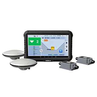
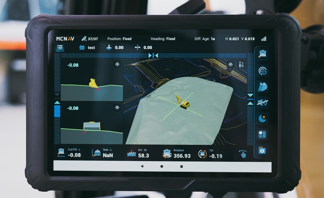
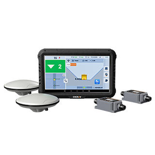
A 3D excavator guidance system combines GNSS positioning with IMU sensors to determine the bucket tip position and guide the operator relative to the design surface. The CHCNAV TX73 brings 3D guidance, multiple viewing modes, 2D and 3D switching, in-field surface creation, CAD design file support, coordinate system compatibility, cloud synchronisation, and remote troubleshooting into one workflow. For grading, excavation, utility work, and drainage, that means fewer manual steps between the design and the dig, with the target surface, bucket position, and progress visible from inside the cab. To see how it fits a wider earthmoving operation, explore our machine control solutions and the comparison of 2D and 3D grade control for earthworks.
This news page summarises the CHC Navigation case study originally published as a LinkedIn newsletter.
Read the full version: From Stringlines to In-Cab Guidance: How GPS Excavator Guidance Helped a Contractor.
With thanks to Scott's Grading and Benchmark Tool & Supply.
CHC Navigation (CHCNAV) develops advanced mapping, navigation, and positioning solutions designed to increase productivity and efficiency. Serving industries such as geospatial, agriculture, machine control and autonomy, CHCNAV delivers innovative technologies that empower professionals and drive industry advancement. With a global presence spanning over 140 countries and a team of more than 2,200 professionals, CHC Navigation is recognized as a leader in the geospatial industry and beyond. For more information about CHC Navigation [Huace:300627.SZ], please visit: https://machine-control.chcnav.com/about/overview.
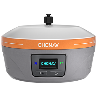
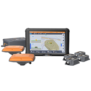
CHCNAV TX73
3D Machine Control for Excavators
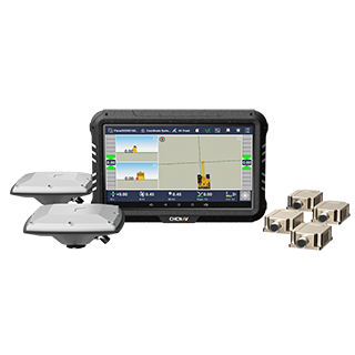
EasyNAV EMG100
Simple 2.5D Machine Guidance for Excavators