Common Searches
Your Recent Searches
Quick Links
- TX73
- EMG100
- TD63
- TG63Pro
- TX63
Search Term
Information Sources
- All Type
-
Products -
News -
Event
PRODUCTS
NEWS
EVENT
Select a Region or Language
Region
Global


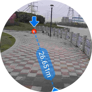


.png)
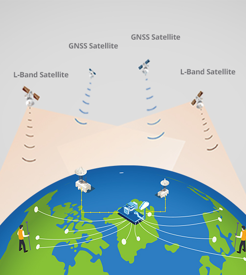
.png)