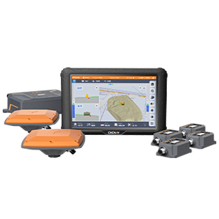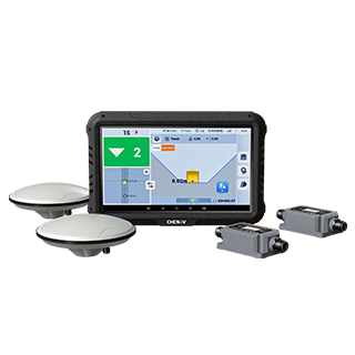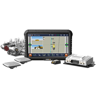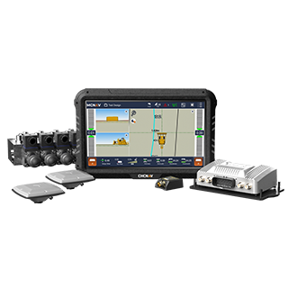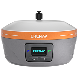

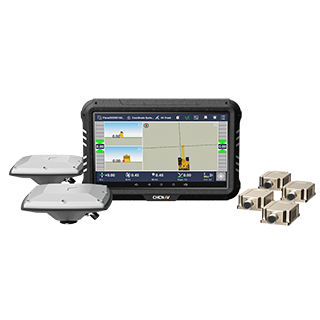
CHC Navigation provides 3D machine guidance and grade control technologies for construction and earthmoving applications. Our systems combine GNSS positioning, machine sensors, digital design data and in-cab guidance to improve grading accuracy and productivity. They are part of a wider portfolio covering land, marine and airborne surveying, GNSS surveying, 3D LiDAR reality capture, precision agriculture and unmanned navigation, giving construction teams access to complementary technologies across their projects.
CHC Navigation, founded in 2003, is a global company with over 2,200 employees and a network of distributors in more than 140 countries. We stay close to our customers to understand their needs in a rapidly changing environment. Wherever you are, we have the capacity to deliver solutions that address your challenges and add value worldwide.
CHC Navigation connects machine control, GNSS positioning, digital design and surveying workflows across the construction site. Survey crews and machines can work from the same positioning reference and design data, helping maintain consistency from site layout and grade checking through excavation and final grading. Integrated GNSS correction services and field software further support accurate, connected construction workflows.
Our mission includes investing heavily in research to develop advanced positioning algorithms, LiDAR and GNSS technologies, cloud-based solutions, and streamlined workflows. Our affordable technologies ensure a strong return on investment for our customers and partners. This commitment to quality and affordability has earned the trust of professionals in over 140 countries.