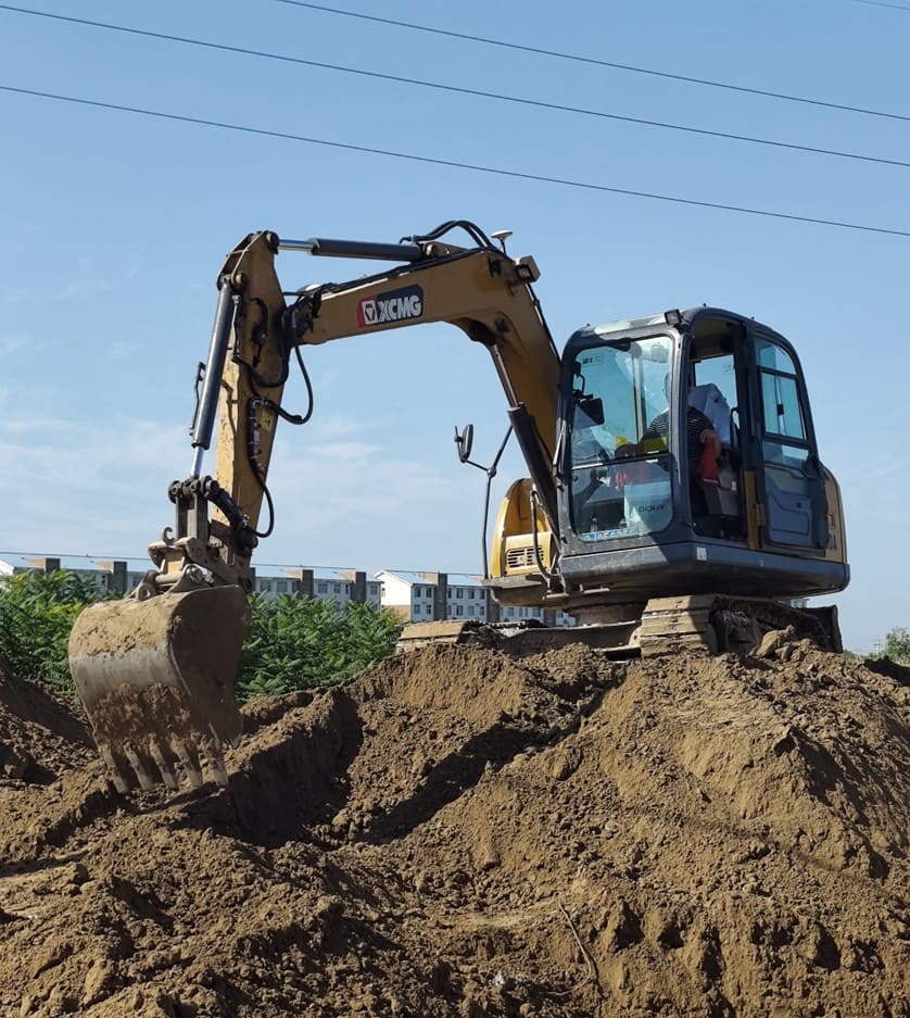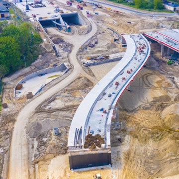

Accessible technology for faster earthworks, less rework, greater autonomy.
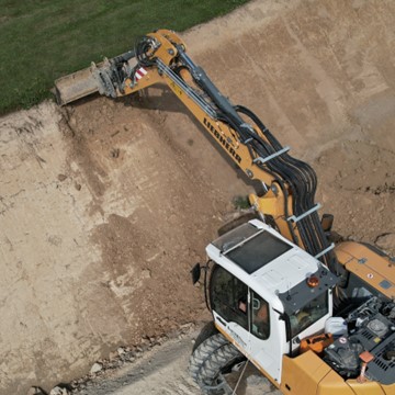
Turn positioning data and project designs into clear guidance that helps operators work accurately and consistently.
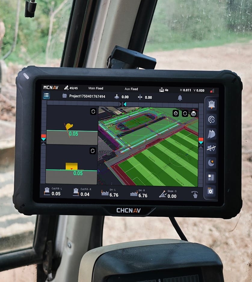
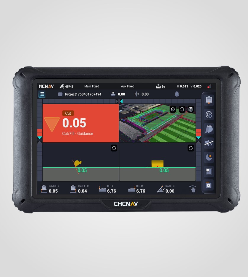
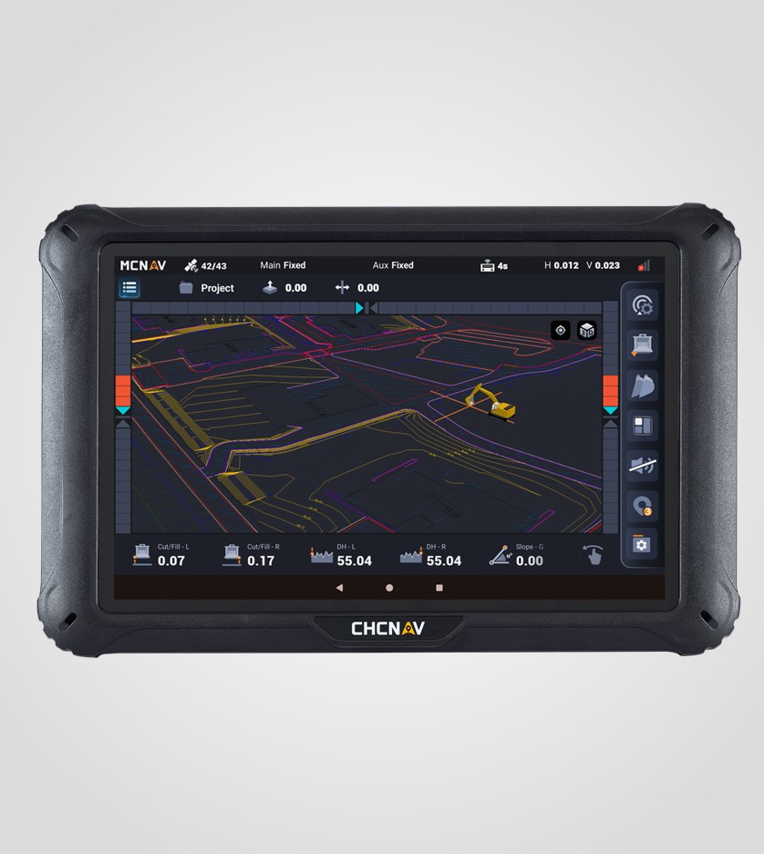
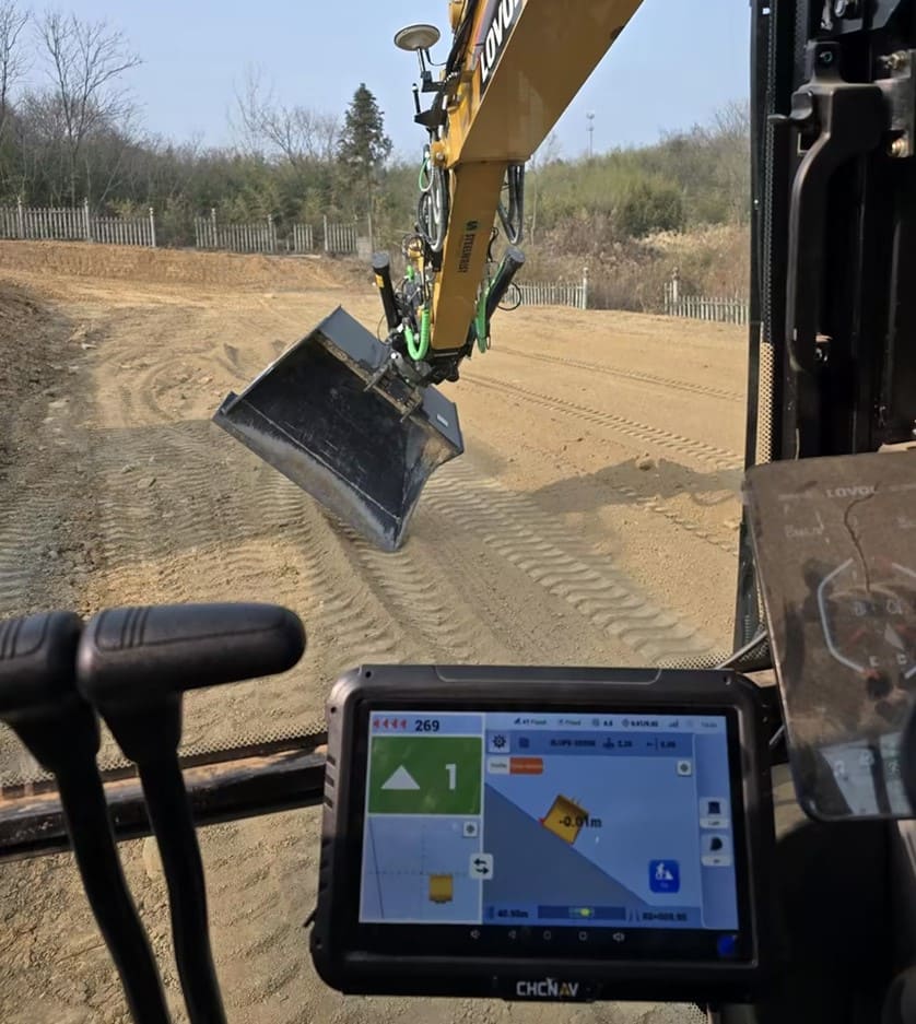
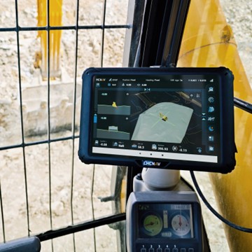
See bucket position, cut and fill, depth and slope against the required surface in real time.
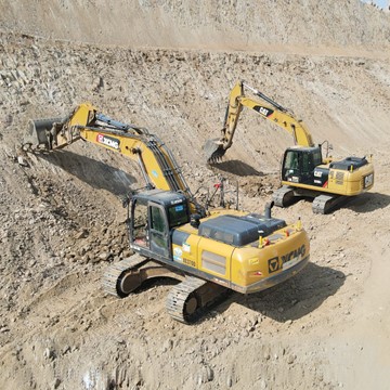
Work closer to the target design with fewer manual measurements, corrections and unnecessary machine passes.
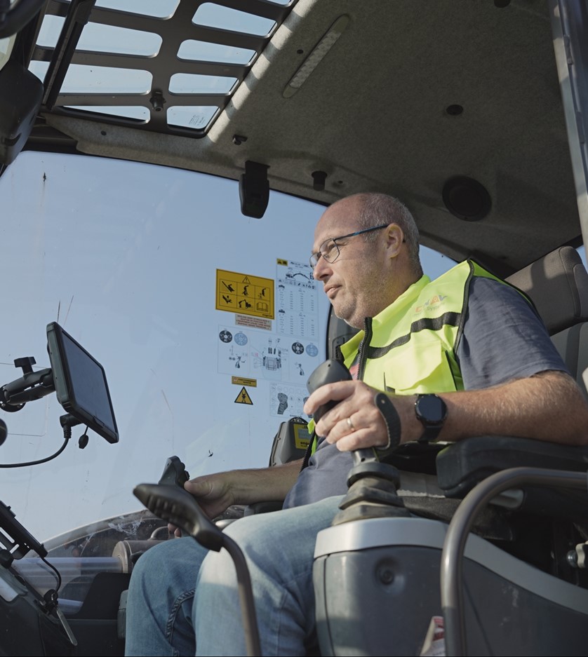
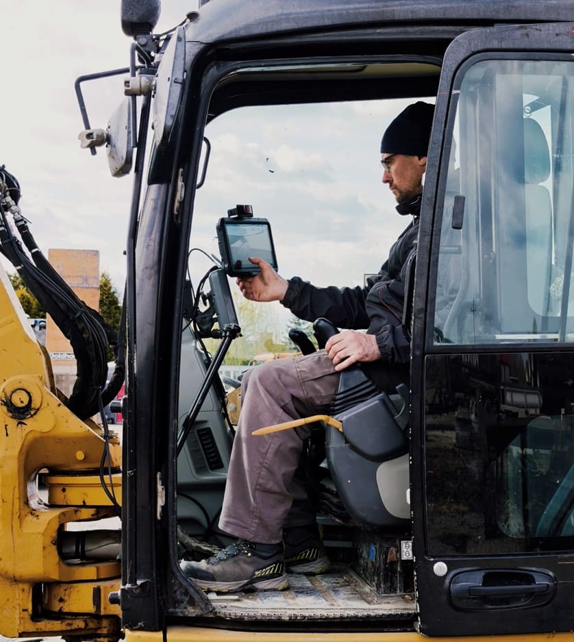
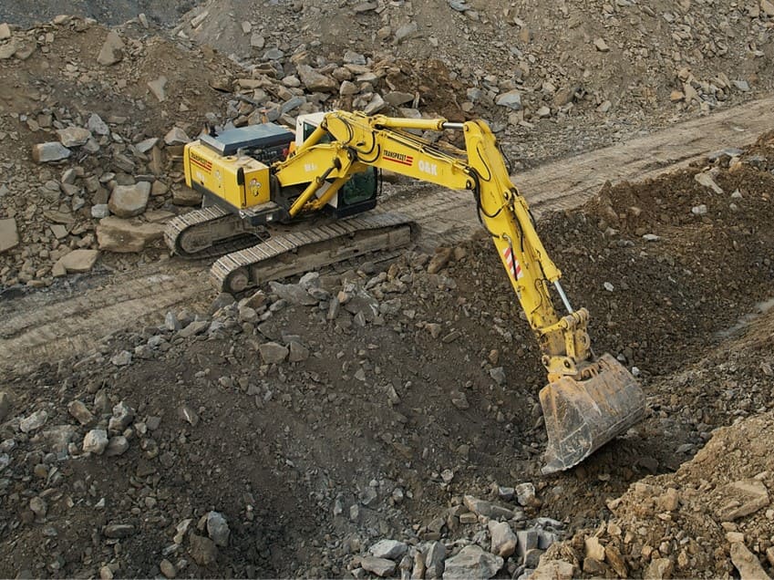
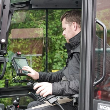
Give operators the guidance needed to complete more work directly from the excavator cab.
Maintain a more consistent workflow and use machines, crews and project time more efficiently.
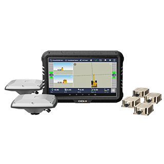
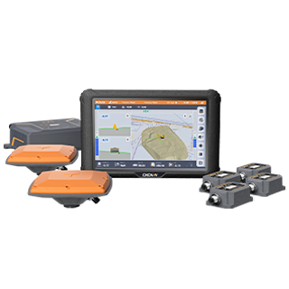
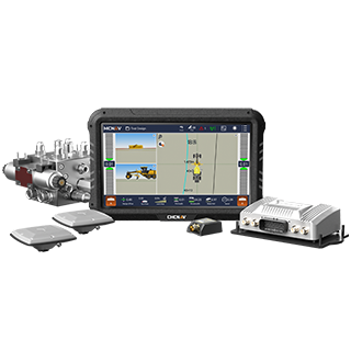
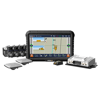
Advanced 3D Machine Control for Complex Projects - The TX73 combines detailed 3D design visualization, responsive machine guidance, and connected workflows for contractors managing demanding earthworks and engineered construction projects.
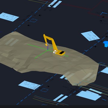
A high-refresh 3D CAD view displays the project design in clear detail, helping operators understand complex surfaces and follow the intended excavation geometry directly from the cab.
Customize the screen layout, shortcuts, lightbar and frequently used functions. Operators can organize the interface around their preferred workflow and access essential information with fewer steps.
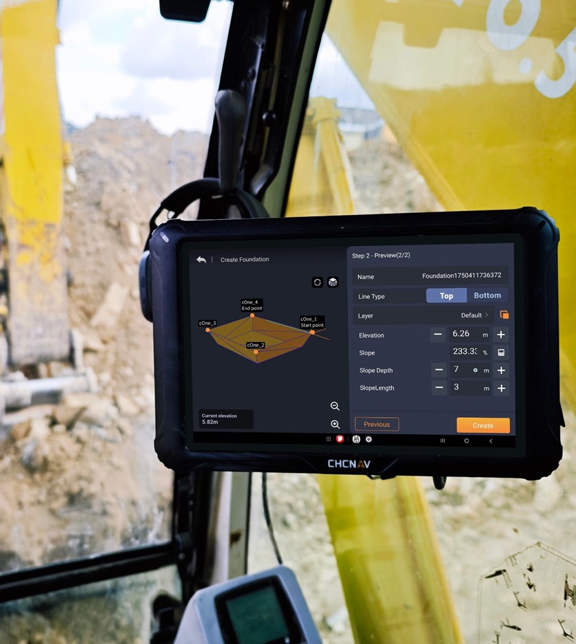
Modify project designs in the field and view changes immediately in the 3D model. Real-time visual feedback helps operators understand how adjustments affect the planned excavation before work continues.
The TX73 uses a high-speed data chain to keep positioning, sensor information and screen guidance synchronized. Bucket movements are reflected smoothly on the display, supporting precise operation without distracting delays.
The TX73 integrates with different excavators, base stations, tiltrotators and common design files. MCSite allows teams to send designs to machines, review progress and access field data from the office.
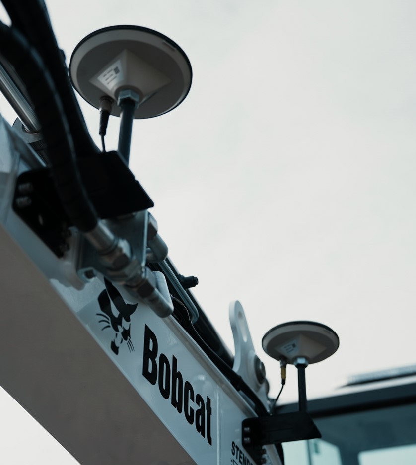
IP69K-rated sensors and IP68 antennas support operation in rain, mud, dust, shock and vibration. TX73 Basic provides a lower initial investment and can be upgraded by registration code as project requirements become more advanced. Free over-the-air updates keep the system current without replacing hardware.
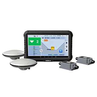
Accessible 2.5D Guidance for Everyday Excavation - The EMG100 gives small contractors and owner-operators a straightforward way to adopt 2.5D excavator guidance, with rapid setup, simple on-site design tools and broad machine compatibility.
Designed to support payback in as little as three months, the EMG100 helps reduce after-sales costs and reliance on specialist support. Reliable hardware and streamlined software keep everyday operation simple and economical.
Create planes, slopes, trenches and holes directly from the excavator cab. Operators can prepare common excavation tasks in minutes without waiting for external design files or continuous surveyor support.
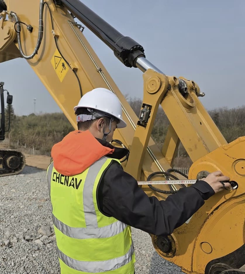
Minimal hardware and standard installation tools simplify deployment. Installation and calibration can be completed in under two hours, while the intuitive Android interface allows operators to learn the main workflow in approximately 30 minutes.
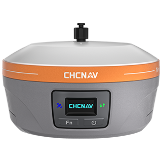
Support for all major GNSS constellations helps maintain reliable positioning across varied jobsites. The system is designed to provide consistent guidance for different machines, environments and excavation applications.
The EMG100 supports swing booms, triple booms, tilt buckets and multiple bucket profiles. One adaptable system can serve a broad range of excavator configurations and common attachment requirements.
The EMG100 delivers essential 2.5D guidance at an investment level suited to smaller contractors and owner-operators. It brings real-time depth, slope and cut-and-fill information within reach of more excavation businesses.
Not sure which system fits your work?
Tell us about your excavator, applications and typical projects. A CHCNAV specialist will help you compare the options.
Choose between streamlined machine guidance and advanced design-driven machine control.
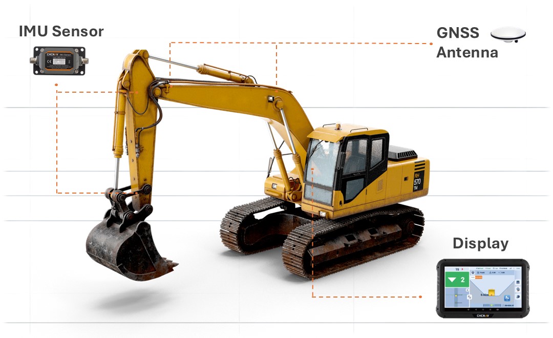
CHCNAV combines GNSS positioning, IMU sensing, software and field connectivity within coordinated systems.
Access product selection, installation guidance and technical support through the CHCNAV distribution network.
Link machines, digital designs and project teams to improve information flow between the field and office.
Tell us about your excavator, applications and project requirements. A local CHCNAV specialist will help identify the most suitable system and configuration.
Learn More


.jpg)